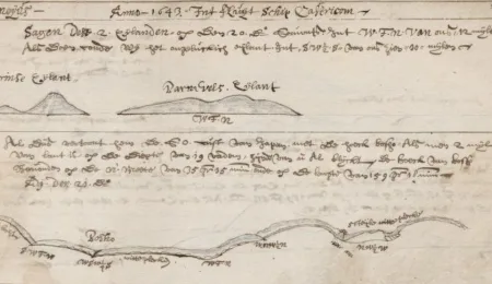
Manuscripts, Archives and Letters · Maps and Atlases Sailing to Asia The Western manuscripts collection contains valuable treasures leading their readers to the Asian continent. Eleven historical travel journals are now digitized. Mart van Duijn • 21-12-2017
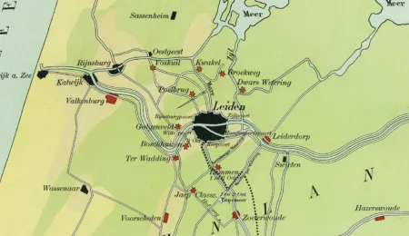
Maps and Atlases A school map of the Relief of Leiden in 1574 The third of October, boats with white bread, herring and cheese relieved the people of Leiden. Anton van der Lem • 03-10-2016
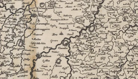
Maps and Atlases Blaeu’s Italian Promise The most beautiful, but also least known of Joan Blaeu’s works. Guest author • 10-03-2015
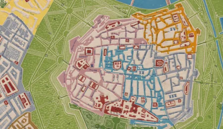
Maps and Atlases An Embossed Map of Vienna by Georg Bauerkeller A very special technique of embossing in mapmaking. Guest author • 01-03-2014
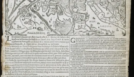
Maps and Atlases Bahía lost, Sluis regained Alternative facts in 1625: an unknown newsprint of the Spanish capturing the city of Salvador in Brazil illustrated with a re-used woodcut of the siege of Sluis Martijn Storms • 17-10-2013
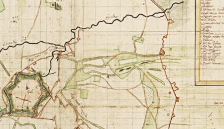
Maps and Atlases The Siege of Groenlo One contemporary handdrawn map of the siege has survived. Martijn Storms • 19-10-2012
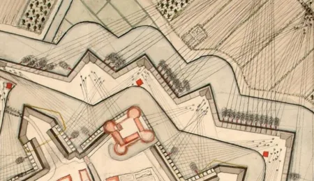
Maps and Atlases Woerden defended by water A small atlas with manuscript plans showing the fortification of Woerden. Martijn Storms • 15-04-2011
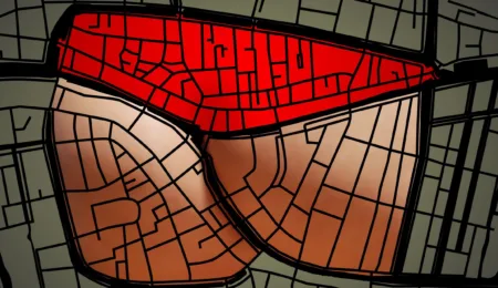
Maps and Atlases Four views on Leiden Jos Agasi's visualisation of the characteristic shape of the Leiden city centre gave surprising results. Martijn Storms • 07-04-2010
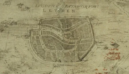
Maps and Atlases Leiden on the map One of the first printed maps of the town, published just after the relief of Leiden 'at the house of Johannes Liefrinck' Martijn Storms • 02-09-2009